These research and restoration projects are being conducted in partnership with and within the ḥaaḥuułi (territory) of nuučaanuł Nations in Clayoquot and Barkley Sound.
Background
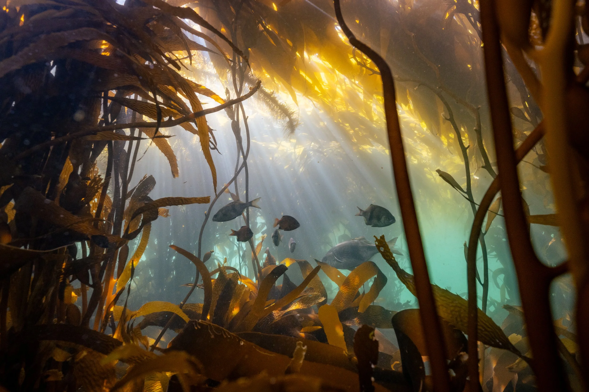
Kelp forests are critical to early marine survival of salmonids, yet these ecosystems have never been widely studied in Clayoquot or Barkley Sound.

Summary
These kelp monitoring and restoration projects mark the first of its kind for Redd Fish. Since 1995, the society has focused on restoration work within stream and lake environments. In an effort to better understand the threats facing salmon, it’s essential to follow them through their life cycle, including into the nearshore marine environment.
When juvenile salmon migrate from freshwater into the ocean in the spring, they travel through salt marsh habitats (coastal wetlands flooded by the tides). These environments often host small channels that support both refuge and foraging opportunities for salmon.
As juveniles creep further from the river, they rely on other estuarine habitat – such as eelgrass meadows – which act like nurseries for the small fish. The next stop on their voyage is often into kelp forests. Healthy kelp provides salmon with a sheltered corridor as they travel up the coast. These underwater forests shield them as they grow before braving the open ocean on their northbound migration.
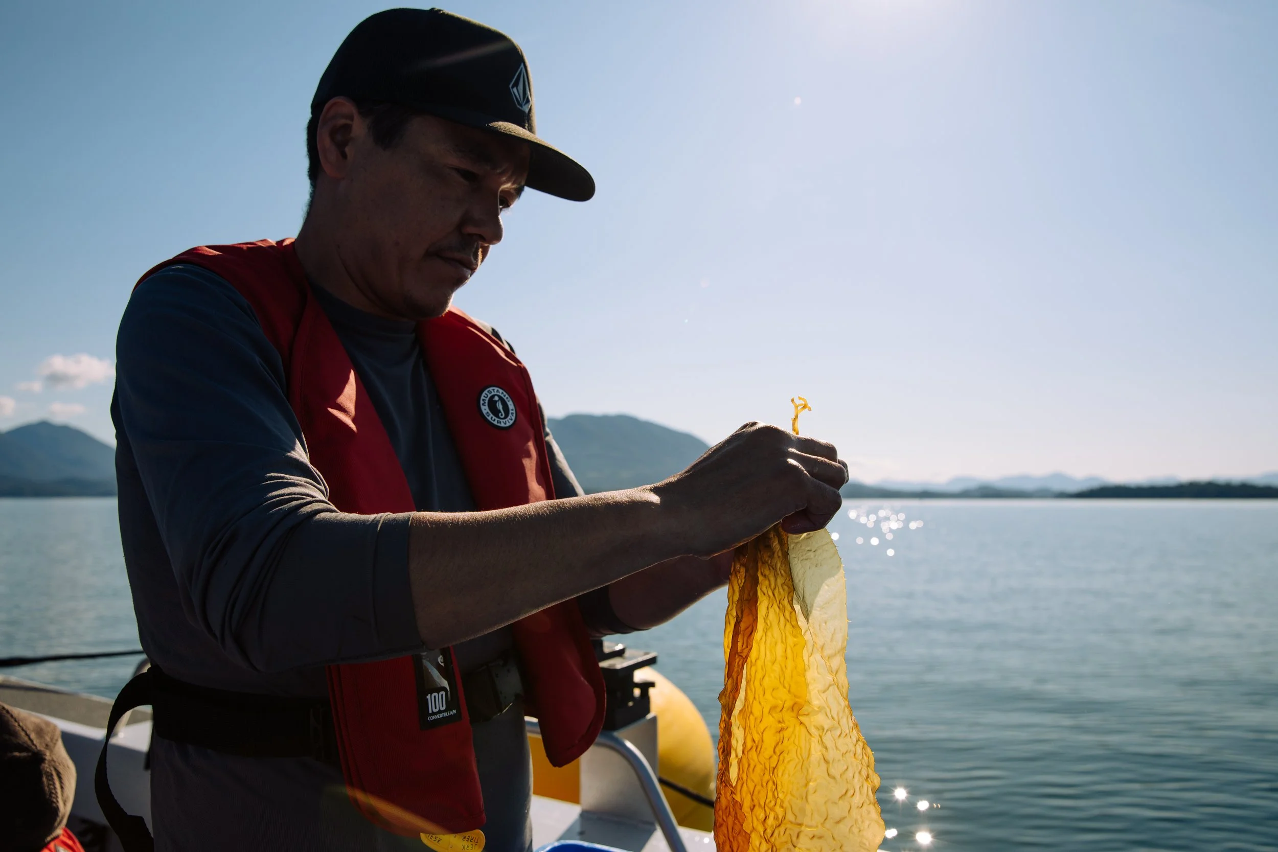
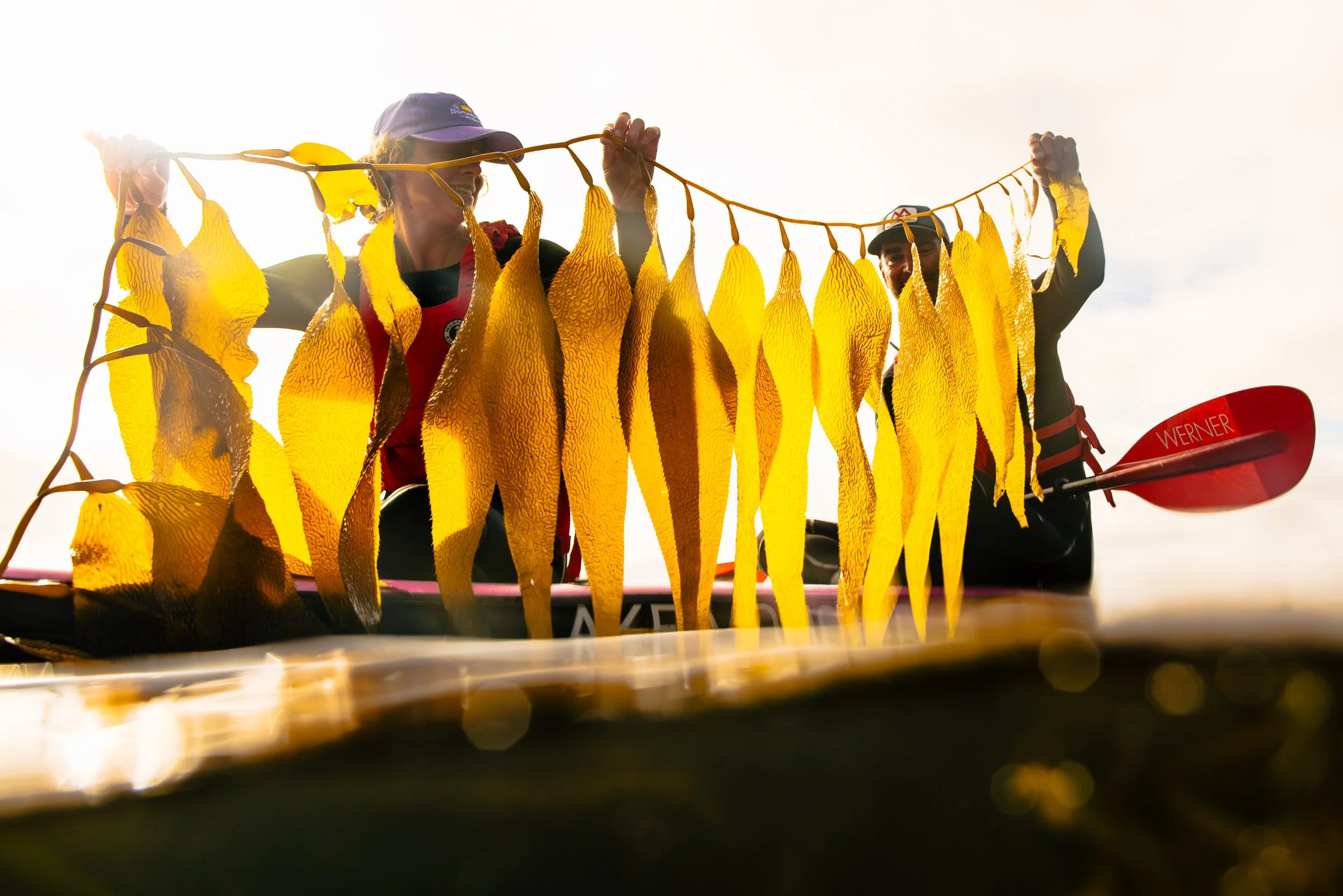
In collaboration, Redd Fish and t̓uk̓ʷaaʔatḥ (Toquaht Nation Government) teamed up with West Coast Kelp Ltd. to conduct an innovative kelp restoration pilot project. This project was established to learn about the viability of kelp forest restoration in our region, trial novel techniques, and strengthen our skills as kelp restoration practitioners in this burgeoning field. Lessons learned from this pilot project have us well-poised to take on further kelp restoration in the future and will provide important restoration feasibility data and best practices that can be applied on a larger scale.
In the spring of 2024, the team seeded kelp on nursery longlines at four different sites throughout tukʷaaʔatḥ territory. By the summer of 2024 we transplanted young kelp from the nursery lines to “green gravel” which was placed on the seafloor.
In conjunction, Redd Fish has been collecting baseline data on the spatial extent, density, and health of kelp within the ḥaaḥuułi of t̓uk̓ʷaaʔatḥ and Yuułuʔiłʔatḥ ḥaw̓ił (traditional territories of Toquaht Nation Government and Ucluelet First Nation) since 2021 and ƛaʔuukʷiʔatḥ (Tla-o-qui-aht) and ʕaaḥuusʔatḥ (Ahousaht) since 2023. This information will help inform future kelp habitat restoration priorities.

Research & Monitoring
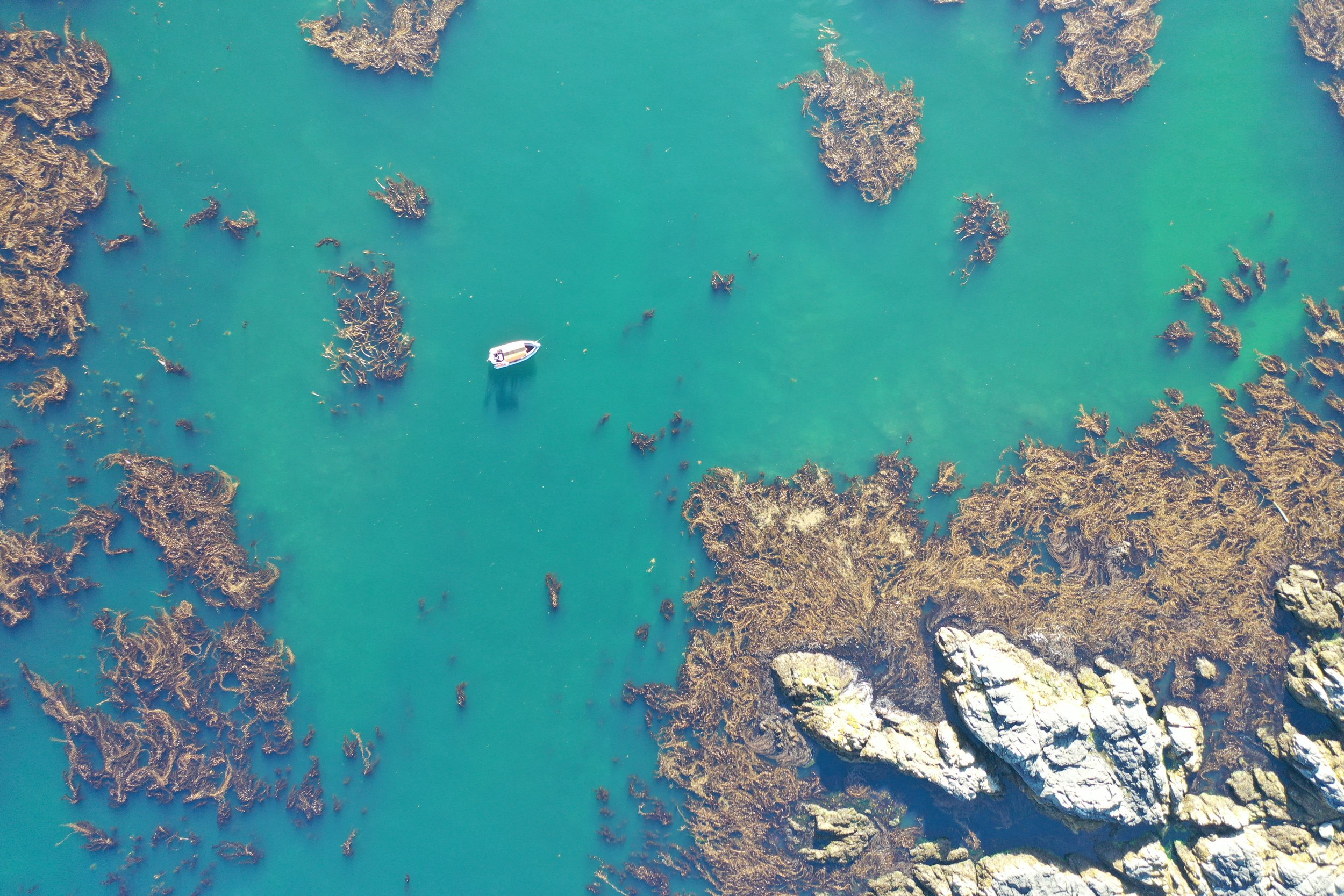
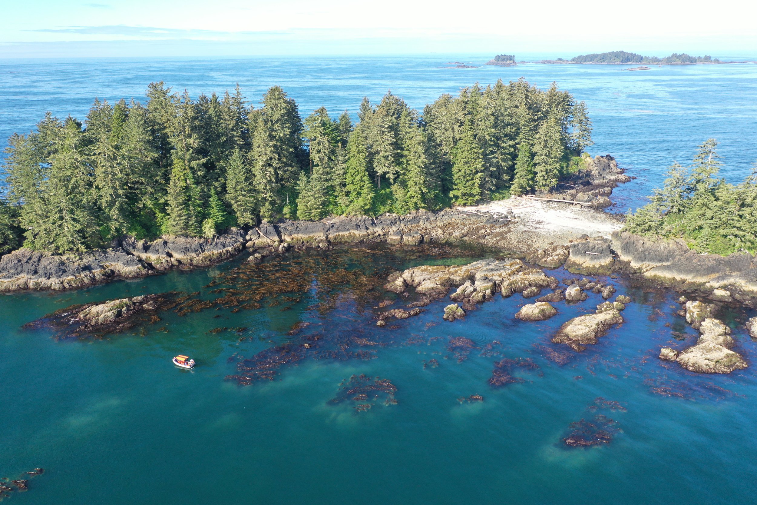
To collect baseline data that can be compared against in the future, Redd Fish set out to begin capturing aerial imagery in 2021. Using a drone, the society documented the spatial extent of various kelp beds in Barkley Sound.
In 2022, Redd Fish expanded its research by broadening the monitoring area to include 10 primary sites. These sites contain giant kelp (Macrocystis pyrifera) and bull kelp (Nereocystis luetkeana), and were identified as priority areas by the society and t̓uk̓ʷaaʔath Nation and Yuułuʔiłʔatḥ Government. Historically known for their large kelp forests, some of the survey sites have traditionally served as important harvest areas for the nations.
These same 10 sites are monitored annually using both drone surveys and hands-on monitoring techniques of biotic and abiotic variables to document spatial extent, species composition, density and health of the kelp.
Without robust historical data to compare current findings to, Redd Fish is leaning on accounts from traditional knowledge holders, and research led by Dr. Maycira Costa and her University of Victoria lab. Dr. Costa has used British admiralty charts from 1858 to 1956 to create the first historical digital map of B.C.’s coast kelp forests to investigate the loss of kelp, and continues to explore remote sensing tools for documenting kelp resilience in B.C.
We have also piloted another research technique: the use of environmental DNA (eDNA). Various organisms, including salmon, shed their DNA into the environment, which can be assessed by collecting and filtering water samples. Because juveniles tend to be elusive, eDNA could be a powerful tool to determine presence or absence of salmon within kelp forest ecosystems. We are working closely with researchers at DFO to analyze these samples and interpret the data.
Through annual monitoring initiatives, Redd Fish will develop a sense of the presence, distribution, and health of kelp forests in the region, as well as determine which areas may be hot spots for out-migrating juvenile salmon. This research and monitoring will ultimately help us understand how salmon habitat is being impacted in the nearshore marine, and highlight if and when there’s a need for restoration. With historic data shared by traditional knowledge holders from our First Nation partners, environmental DNA (eDNA) study results, long-term spatial and oceanographic data, and other collaborative research, Redd Fish will help identify trigger points for kelp restoration and engage as restoration practitioners to support First Nation-led projects.
Media
Want to see more amazing work on this project, and others like it? Support Redd Fish by donating here: