
This restoration work takes place within the hahuułi of ƛaʔuukʷiʔatḥ ḥawiiḥ (traditional territory of Tla-o-qui-aht First Nation’s hereditary chiefs).

Background
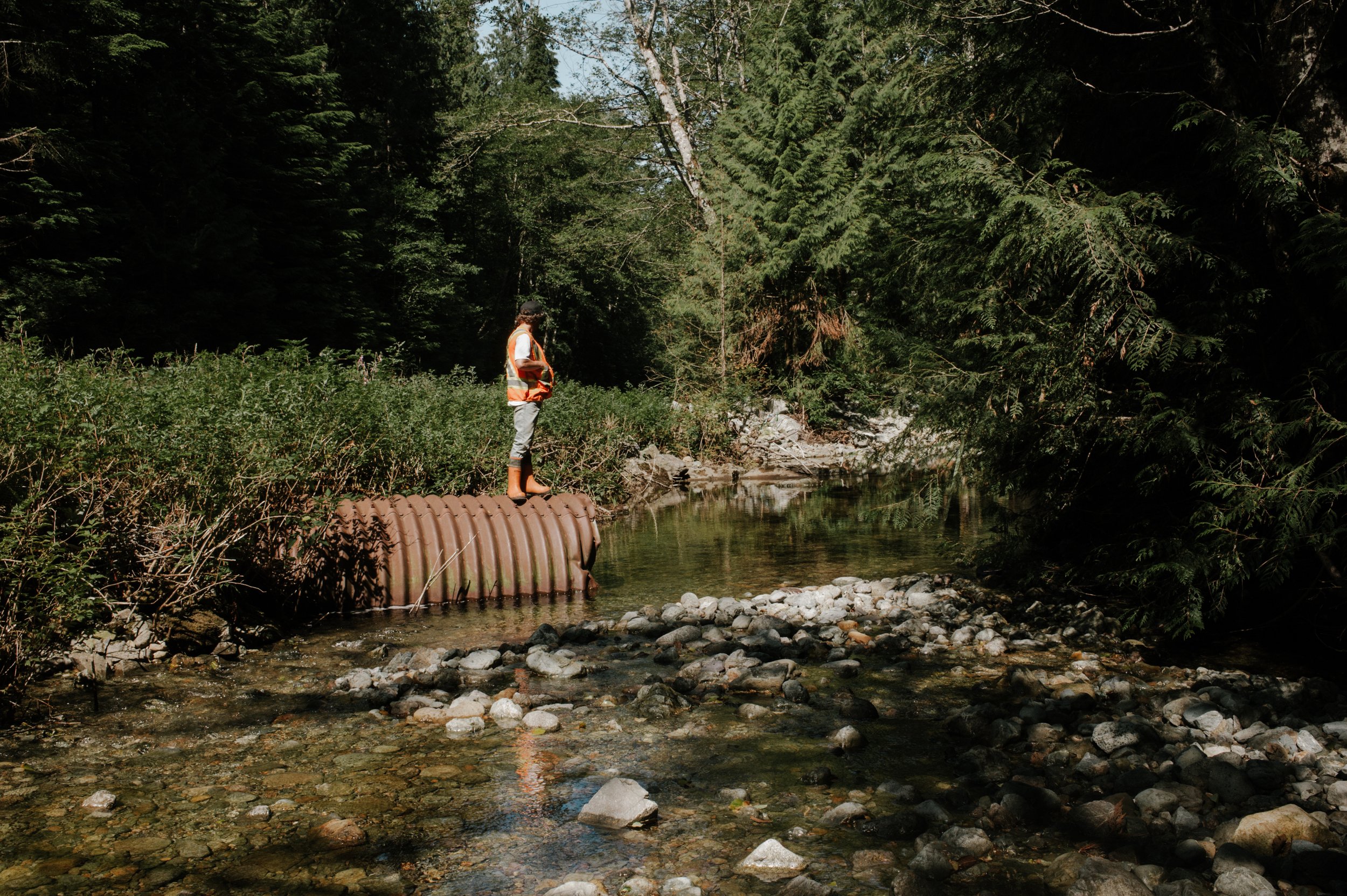
Hiłpičis Creek is a sub-basin of the Kennedy Lake Watershed that runs over three kilometers in length and supports Pacific salmon populations. Accessed by Highway 4, it is around 20.5 kilometers northeast of Ucluelet.
Situated in a steep valley, the upper watershed was largely logged in the 1980s, before B.C.’s forest practices code came into effect in 1995. The previous substandard harvesting practices and road building methods significantly impacted the creek.
Without old-growth root systems in place to regulate and slow water down as it travelled from the upper reaches of the watershed to the lower rivers, it overwhelmed the creek. By logging these old-growth stands and building unregulated forestry roads, the drainage patterns of the watershed were disrupted.
The inevitable build-up of sediment from erosion impacted salmon’s ability to access the creek, hindering their ability to spawn. While heavy rain during the winter months overwhelmed the creek, accelerated erosion and further degraded habitat, the low-flow in the summer completely dried up the creek.
Inundated by boulders from these logging practices, Tla-o-qui-aht First Nation Natural Resources Manager Saya Masso said juvenile salmon would get trapped and die during the summer months as the river and holding pools dried up.
“That was happening year-after-year,” said Masso. “Every year, there were thousands of fish dying.”
To further complicate the situation, the floodplain was bisected when a road was constructed adjacent to Hiłpičis Creek in 1959. This later became known as Highway 4 in 1974 after it was upgraded and paved. Power lines were added along a corridor in the lower reaches of the creek to service west coast communities. Maintenance of these power lines has prevented the recovery of a mature forest in the area and the ongoing removal of trees has increased erosion, channel widening and delayed the recovery of the riparian ecosystem.


Summary
Restoration began in 2017 with road shoulder repairs and the development of a riffle-pool sequence (a shallow pool with fast water running over rocks) that continued throughout 2018.
In 2019, restoration efforts focused on creating an in-stream and off-channel fish habitat, increasing flow capacity and re-establishing connectivity to improve flood management adjacent to Highway 4.
Through these restoration efforts, there is now year-round, continuous surface water in Hiłpičis Creek.
“The results of this project have shown us that we can have a positive impact on these watersheds, undo some of the damage, and foster a healthy ecosystem that supports thriving fish and wildlife populations that are so important to life on the coast.”
— Tom Balfour, Redd Fish Restoration Society Fish Program Manager


Research & Monitoring
Water quality was monitored throughout the restoration process to measure dissolved oxygen, temperature and turbidity. Ongoing spawner surveys are conducted in the creek to gauge restoration effectiveness.
Ongoing monitoring and restoration work is needed to maintain year round water for anadromous fish
Media
Want to see more amazing work on this project, and others like it? Support Redd Fish by donating here: