
This restoration work takes place within the hahuułi of aaḥuusʔatḥ ḥawiiḥ (traditional territory of Ahousaht First Nation’s hereditary chiefs).


Background
The Atleo River is located in Clayoquot Sound, around 10 kilometres north of the Ahousaht Village, on Flores Island. It once supported all five species of Pacific Salmon, as well as one of the largest Hink’uu?as (chum salmon) runs in Clayoquot Sound.
Around 47 per cent of the watershed was logged between 1978 and 1995. Landslides, road failures and an increased sediment supply from poor logging practices devastated this once thriving watershed.
Greater restrictions on harvesting timber were required in the lower section of the watershed as part of the Coastal Fisheries Forestry Guidelines, which was developed by the Department of Fisheries and Oceans Canada Fish in the 1980s. These guidelines meant that only one side of the river was logged. As a result of these guidelines, full function of riparian values were retained on one side of the stream, including bank stability, shade and large woody debris.
Meanwhile, the riparian areas in the upper reaches of the watershed were logged on both sides of the river, contributing to extensive landslide activity and erosion. The consequences from early forestry activities have buried the Atleo River in sediment and debris, destroying much of its most productive salmon habitat. Without efforts to remediate this damage in the stream channel and surrounding riparian forest, habitat loss has continued.
Local stakeholders have expressed concerns that the fishery has been deteriorating due to changes in the hydrological conditions and increased sedimentation from historical harvesting activities.

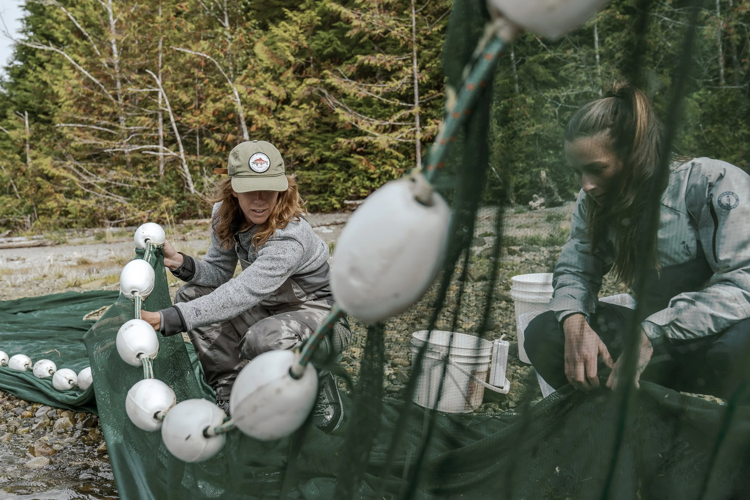
Summary
An air photo analysis was conducted in the lower Atleo River to assess changes to the watershed since 1938. Historical air photos from 1970, 1981 and 1988 were paired with LiDAR – a remote sensing system offering precise 3D measurements – to create aerial photographs. These orthophotos allowed Redd Fish and Ahousaht First Nation to determine the impact of logging within the watershed.
The analysis identified a total of 75 landslides. Of those, 25 were naturally occurring, 21 were triggered by road construction and 29 were caused by harvesting.
Sediment from these landslides have transferred to the river through smaller tributary creeks. No riparian buffer was maintained in the upper reaches of the watershed which led to increased bank erosion and sediment transfer.
To accelerate the natural recovery and development of old-growth forest attributes, various treatments were prescribed to encourage the growth and structure of the forest.
These treatments include, gap and thinning, girdling (a management technique that removes the bark of a tree so it slowly dies), brushing and planting.
In doing this, Redd Fish and Ahousaht are aiming to support the recovery of important forest features, including:
Multiple canopy layers with a variety of tree sizes and spacing
Large trees, large limbs and large root masses
Abundant understory vegetation
Future recruitment of large woody debris for aquatic ecosystems
To date, riparian restoration has covered a total of 25.87 hectares.


Research & Monitoring
Ongoing monitoring of sediment accumulation in the lower reaches continues. This is done to ensure existing habitat is maintained.
Opportunities to add large wood in the lower river are sought to regulate sediment.
Existing log jams in the lower river are evaluated to ensure build-up of small woody debris is not impeding fish access.
Side-channels in the lower Atleo River continue to be assessed for potential restoration.
Monitoring plots have been established in riparian areas to monitor the survival and growth of planted trees, as well as to determine any maintenance requirements.
Media
Want to see more amazing work on this project, and others like it? Support Redd Fish by donating here: